Skalkaho Pass

Skalkaho Pass
Overview
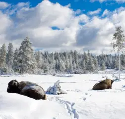
Skalkaho Pass is the summit of Skalkaho Highway (MT-38), which runs between Hamilton, MT and Philipsburg, MT. The highway is a seasonal road; in winter, only the first 10 miles (Hamilton side) are plowed. However, winter travelers may still reach the pass via snowmobile.
Driving Directions
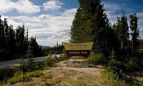
Just 3 miles south of Hamilton, turn left onto MT-38 E and enjoy the breathtaking scenery around every twist and turn. Skalkaho Pass is located approximately 26 miles down MT-38 E and sits at 7,260 feet.
Time/Distance
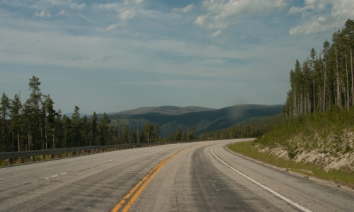
On Skalkaho Highway, driving speeds slow considerably due to narrow conditions. The MT-38 turn-off to Skalkaho Pass is approximately 26 miles but takes about 30 – 45 minutes.
During winter, drive 10 miles down MT-38 E until you find the parking area. From here you can snowmobile the remaining 16 miles to Skalkaho Pass.
Highlights
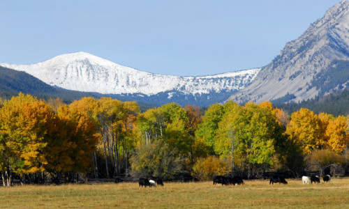
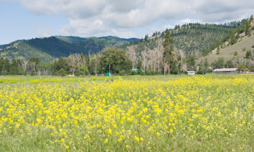
- Drive amidst dense fir and pine forests, narrow gorges, and sprawling meadows.
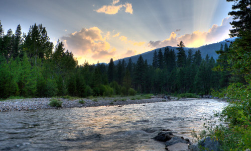
- Stop for a picnic lunch near the cascading waters at Skalkaho Falls.
- During summer, camp at Black Bear Campground in the Darby District of Bitterroot National Forest of hike around Skalkaho Basin.
- During winter, snowmobile down 26 miles of groomed trails at Skalkaho Pass Area, or cross-country ski.
- Elk, mule deer, badgers, coyotes, and black bears can be seen along the highway.
- Skalkaho Pass sits at 7,260 feet within Bitterroot National Forest.
- During summer, drive the Skalkaho Highway for great alpine views.
- Campgrounds and hiking trails are located nearby.
- Snowmobile down the groomed trails at Skalkaho Pass in winter.
- Be sure to stop for photos and a picnic lunch at Skalkaho Falls.